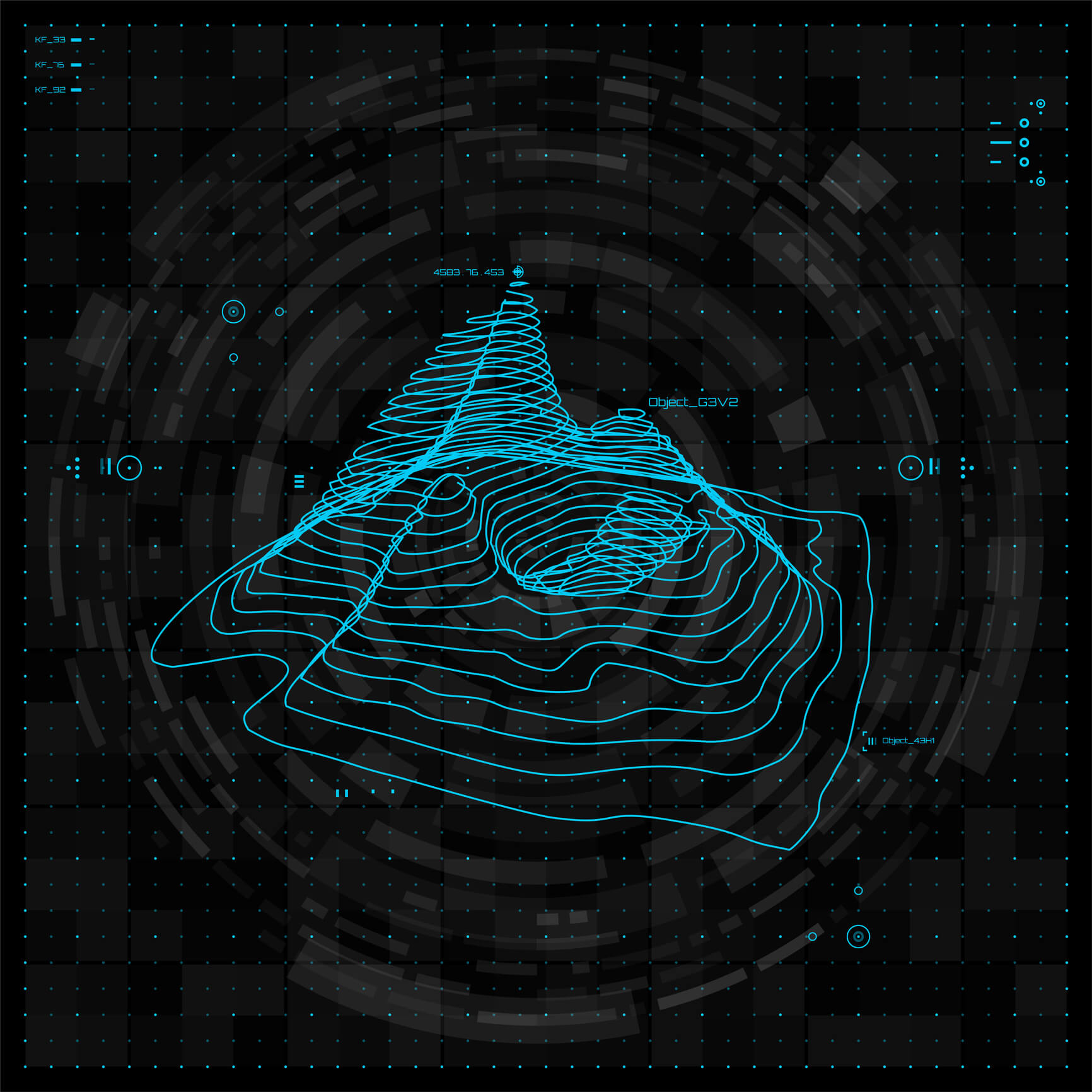
Ambipar carries out surveys of geospatial information to adapt the work according to the specifications required by the legislation to obtain the applicable Environmental Licenses and other management plans. Within the scope of services we offer in the area of geosciences, you can count on:
- Cartography
- Topography
- Bathymetry
- Aerial Survey
- Archaeological Surveys
- Computer Modeling
- Geotechnology
- Construction Management
- Land Management
See too:

